
Willkommen am Fachbereich Geoinformatik – Z_GIS
Der Fachbereich Geoinformatik – Z_GIS an der Universität Salzburg ist ein gut etabliertes Kompetenzzentrum für GIScience, das in Zusammenarbeit mit akademischen und industriellen Partnern aus dem Geobereich in Forschung und Lehre tätig ist. Gleichzeitig bringt unser Team von Geoinformatik-Spezialisten seine Fähigkeiten und Expertise in Studiengänge und Forschung an der Universität Salzburg sowie in eine Reihe von internationalen Partnerorganisationen ein.
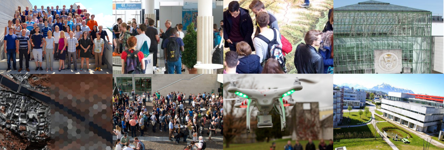
Sammeln Sie erste Eindrücke vom Fachbereich mit diesem Video.
Quick Links: Der Fachbereich – News – Studium – Forschung – GI-Events – Karriere – Kontakt
Fachbereichsleitung

Univ.-Prof. Mag. Dr. Thomas Blaschke
Fachbereichsleiter
Schillerstraße 30, 5020 Salzburg
Tel.: +43 ((0)662) 8044 – 7525
E-Mail:

Assoz. Prof. Dr. Dirk Tiede
Stv. Fachbereichsleiter
Schillerstraße 30, 5020 Salzburg
Tel.: +43 ((0)662) 8044 – 7565
E-Mail:


